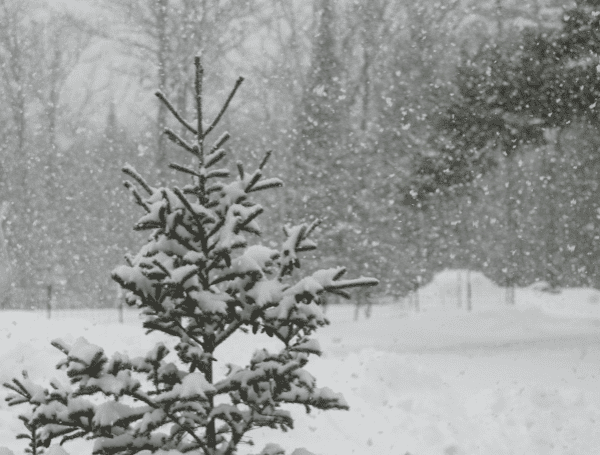
Millions across the eastern United States should prepare for an extended stretch of wintry weather as multiple storm systems are expected to bring snow, ice, and travel disruptions from the Midwest to the Atlantic coast over the coming week. While no single storm is forecast to deliver blockbuster snowfall, the cumulative effects of these systems could cause significant issues.
AccuWeather meteorologists describe the upcoming weather pattern as fragmented and highly complex. Bitterly cold Arctic air is expected to surge southward and mix with patchy areas of moisture, creating an environment conducive to light to moderate snow and ice.
READ: Florida Senate Signals Further Changes To Condominium Safety Laws
“The storms may not be intense individually, but the potential for widespread precipitation and cold conditions will bring travel concerns for millions,” said AccuWeather Senior Meteorologist Alex Sosnowski.
Midweek Clipper Storm
A clipper-style storm is set to sweep across the Midwest and Appalachians from Wednesday evening to Thursday night. This system is forecast to deliver:
- Snow Accumulations: A general 1-3 inches, with locally higher totals near the Great Lakes and in elevated areas of West Virginia and southwestern Pennsylvania.
- Eastward Spillover: Snow showers may extend into parts of the I-95 corridor in the mid-Atlantic and New England Thursday afternoon into the night, potentially causing slick roads.
READ: New Wildfire Erupts As Los Angeles Braces For “Explosive Fire Growth”
First of Two Weekend Storms
The first of two larger storm systems will begin Friday, bringing rain, snow, and icy conditions across a broad area:
- Rain and Ice: Rain will affect regions from the Ohio Valley to the mid-Atlantic and New England. Spotty ice is possible in parts of the Appalachians and Piedmont areas Friday night into Saturday.
- Snow in the North: A wintry mix is expected along I-70 in the Midwest, with accumulating snow closer to the Great Lakes and northern Appalachians.
- Southeast Rainfall: Heavy rain and isolated thunderstorms could soak parts of the Southeast, with a freeze-up possible in some areas Saturday night as colder air moves in behind the system.
Sunday to Monday Storm
Another system is expected to move in Sunday, bringing widespread snow and ice:
- Snow and Ice: Coastal areas from the Southeast to the mid-Atlantic may see accumulating snow and ice, while interior regions like the Tennessee and Ohio Valleys could experience more extensive snowfall if the storm strengthens.
- New England Impacts: Snowfall in New England is likely Sunday night into Monday, causing slippery travel conditions.
READ: Florida Gas Prices Fluctuate Amid Rising Oil Costs And Geopolitical Tensions
Travelers heading to Washington, D.C., for the presidential inauguration on Monday morning may face icy roads early but should see improved conditions later in the day.
Frigid Arctic air will settle over the region early next week, preventing natural melting of snow and ice. Temperatures are expected to remain well below freezing:
- Washington, D.C.: Highs in the 20s F Tuesday and Wednesday.
- Chicago: Highs in the single digits to low teens on Monday and Tuesday. AccuWeather RealFeel® Temperatures could be 10-20 degrees lower due to wind chill.
Forecasters are monitoring the potential for yet another storm system to develop next week. Moisture lingering near the Gulf of Mexico could form a new storm that might track into the cold air, potentially bringing additional snowfall to the Southern states and mid-Atlantic.
Travelers are urged to monitor conditions closely, as airline delays, deicing operations, and hazardous roadways are expected throughout the affected regions. Stay updated with weather alerts and plan for extra travel time in impacted areas.
Please make a small donation to the Tampa Free Press to help sustain independent journalism. Your contribution enables us to continue delivering high-quality, local, and national news coverage.
Connect with us: Follow the Tampa Free Press on Facebook and Twitter for breaking news and updates.
Sign up: Subscribe to our free newsletter for a curated selection of top stories delivered straight to your inbox.


