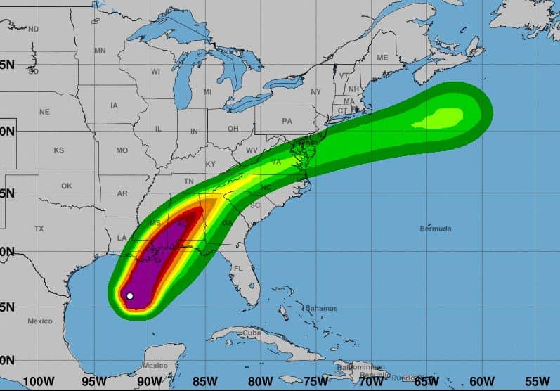
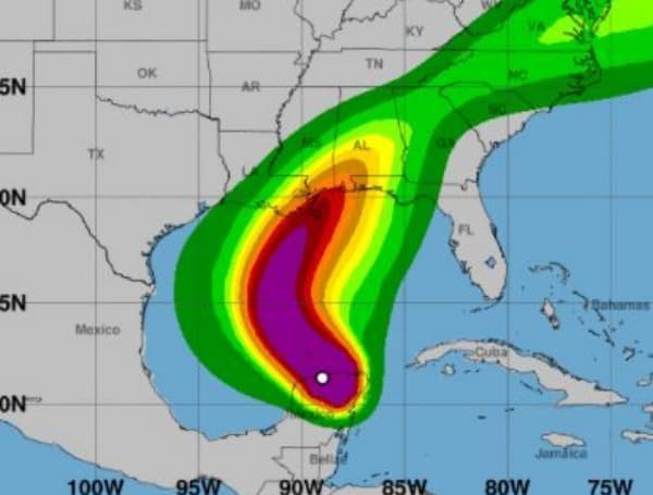
Along the northern Gulf Coast, the combination of a dangerous storm surge and the tide will cause normally dry areas near the coast to be flooded by rising waters moving inland from the shoreline. The water could reach the following heights above ground somewhere in the indicated areas if the peak surge occurs at the time of high tide.

- Mouth of the Pearl River to Dauphin Island AL…6-9 ft
- Port Fourchon LA to the Mouth of the Mississippi River…5-8 ft
- Mouth of the Mississippi River to the Mouth of the Pearl River
including Lake Borgne…5-7 ft - Mouth of the Atchafalaya River to Port Fourchon LA…4-6 ft
- Mobile Bay…4-6 ft
- Dauphin Island AL to AL/FL border…3-5 ft
- Lake Pontchartrain…3-5 ft
- AL/FL border to Navarre FL including Pensacola Bay…2-4 ft
- Intracoastal City LA to the Mouth of the Atchafalaya River including
- Vermilion Bay…1-3 ft
- Navarre FL to Yankeetown FL including Choctawhatchee Bay and Saint
Andrew Bay…1-3 ft
The deepest water will occur along the immediate coast near and to
the right of the landfall location, where the surge will be
accompanied by large and dangerous waves. Surge-related flooding
depends on the relative timing of the surge and the tidal cycle,
and can vary greatly over short distances. For information
specific to your area, please see products issued by your local
National Weather Service forecast office.
WIND: Hurricane conditions are expected within the Hurricane Warning area on the northern Gulf Coast this afternoon, with tropical storm conditions beginning later this morning. Tropical storm conditions are expected within the Tropical Storm Warning area on the northern Gulf Coast by late today.
Damaging winds, especially in gusts, will spread well inland across portions of southeastern Mississippi, Alabama, and northern Georgia this evening through early Thursday morning, and into the Carolinas and southeastern Virginia on Thursday. Wind gusts could be especially severe across the southern Appalachian Mountains on Thursday.
