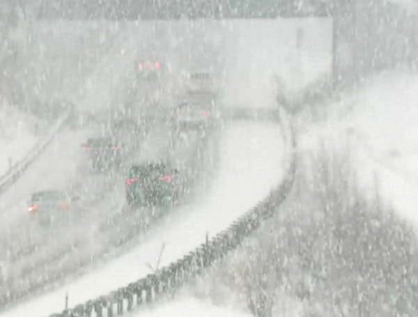
A potentially historic snowstorm is brewing and could bring widespread disruptions and heavy snowfall to millions of Americans from the southern Plains to the Northeast next week. AccuWeather meteorologists are closely monitoring the developing system, which has the potential to be the biggest snowstorm of the winter for many areas.
“The brewing snowstorm will have two key pieces associated with it,” explained AccuWeather Chief Meteorologist Jonathon Porter. “Those being a fresh injection of Arctic air and the fact that it will be the caboose in the long train of February storms, as the last storm in a series is often the strongest.”
READ: Severe Storms, Life-Threatening Flooding Threaten Mississippi, Kentucky And Tennessee Valleys
A surge of frigid Arctic air from Canada will invade the Plains, Midwest, and Northeast, setting the stage for lake-effect snow early in the week. This cold air mass will then interact with a developing storm system in the Midwest.
If this storm merges with a second storm moving across the Rockies, a phenomenon known as “phasing,” it could significantly intensify and produce a major snowstorm along the East Coast, potentially with the characteristics of a nor’easter.
Even if the storms remain separate, a swath of light to moderate snow is still expected from the southern Plains to the Atlantic coast. However, the heaviest snow is predicted to fall in two main areas:
- Central Plains: Portions of Nebraska, Kansas, and Missouri could see significant snowfall due to the dry, powdery nature of the snow.
- Central Appalachians to Mid-Atlantic Coast: This region could also experience heavy snow due to ample moisture from the Gulf of Mexico and Atlantic Ocean.
READ: Bahamian And Haitian Nationals Charged In Human Smuggling Operation Off Florida Coast
If the storm tracks further south, it could bring snow or a wintry mix to areas as far south as the I-20 corridor in the Southern states, followed by a significant freeze.
The exact timing and track of the storm are still uncertain, but it is expected to impact the central and eastern U.S. by the middle of next week. The storm could cause widespread travel disruptions, school closures, and power outages.
AccuWeather meteorologists are urging residents to monitor forecasts closely and prepare for potential winter weather impacts.
Please make a small donation to the Tampa Free Press to help sustain independent journalism. Your contribution enables us to continue delivering high-quality, local, and national news coverage.
Connect with us: Follow the Tampa Free Press on Facebook and Twitter for breaking news and updates.
Sign up: Subscribe to our free newsletter for a curated selection of top stories delivered straight to your inbox.

