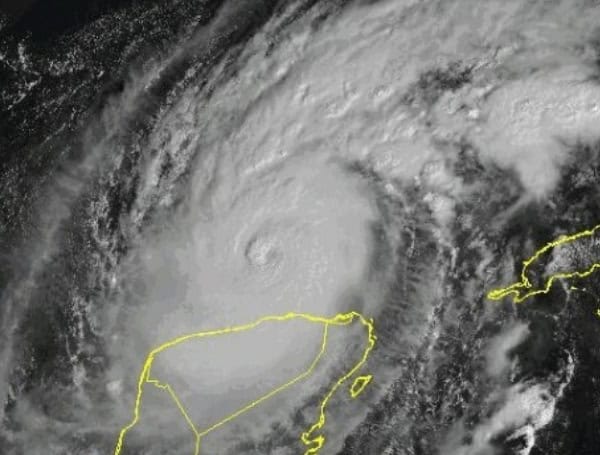
Residents along the Atlantic and Gulf coasts should brace for potentially another busy hurricane season, according to the first two major forecasts released for 2025. Both AccuWeather and experts at Colorado State University (CSU) are predicting storm activity significantly above the historical average.
AccuWeather’s forecast expresses particular concern, noting that “early indications have forecasters worried that it will have similarities to the 2024 season, which was one of the most devastating and costliest on record.”
A primary driver behind these predictions is the exceptionally warm ocean water. “Water temperatures across the ocean, as well as in the Gulf and Caribbean, are already well above historical averages,” AccuWeather stated, adding that these conditions “will prime storms for explosive development.”
READ: Tornado Reports Surge In 2025; Severe Weather Causing Billions In Losses
AccuWeather predicts a range of 13 to 18 named storms for the season, which officially runs from June 1 to November 30. Within that range, they anticipate 7 to 10 will strengthen into hurricanes, with 3 to 5 potentially becoming major hurricanes (Category 3 or higher, with winds of 111 mph+). The forecast also suggests 3 to 6 storms could make direct landfall in the United States. AccuWeather forecaster Alex DaSilva added there’s a 20% possibility of exceeding 18 named storms this year.
Colorado State University’s forecast aligns closely, predicting 17 named storms, 9 hurricanes, and 4 major hurricanes. While also citing warm waters, the CSU team noted some uncertainty regarding whether temperatures will reach the extreme levels seen in 2024, which could potentially moderate the season slightly compared to last year.
READ: AG Pam Bondi Announces New 2nd Amendment Enforcement Task Force
CSU experts also highlighted the expected atmospheric conditions, anticipating an “ENSO-neutral” pattern at the season’s start. Neither La Niña nor El Niño, this neutral state, like La Niña, tends to be more conducive to Atlantic storm development than an El Niño pattern, which typically suppresses hurricane formation.
For context, the average Atlantic hurricane season, based on data from 1990-2020, produces 14 named storms, 7 hurricanes, and 3 major hurricanes. Both early forecasts significantly exceed these benchmarks, signaling the need for early awareness and preparation in vulnerable coastal regions.
Please make a small donation to the Tampa Free Press to help sustain independent journalism. Your contribution enables us to continue delivering high-quality, local, and national news coverage.
Connect with us: Follow the Tampa Free Press on Facebook and Twitter for breaking news and updates.
Sign up: Subscribe to our free newsletter for a curated selection of top stories delivered straight to your inbox.
